LAUGENSEE lake and LAUGENSPITZE peak | W321
From the Gampenpass
over the Laugenalm to the summit
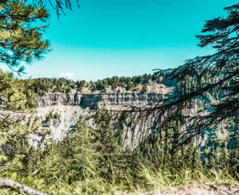
From the Gampenpass – at 1518 m – follow the “Laugenalm” signposts on the broad trail first through a meadow and then through beautiful coniferous forest on a gentle uphill hike to the Laugenalm at 1853 m. Here you can stop for a delicious lunch. If you prefer a more leisurely pace, you can also end the hike here. It takes 2.5 hours to walk from the pass to here and back again. For those who want to go even higher, continue on a moderately steep footpath following marker 10 up to a grassy old moraine basin, the Laugensee. From here, follow the markings 10/133 over boulders and partly secured porphyry rock steeply up to the summit of the Große Laugenspitze 2433 m.
A good general hiking condition is required for the mountain tour
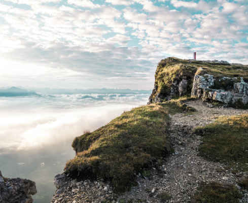
Challenging summit tour with great views
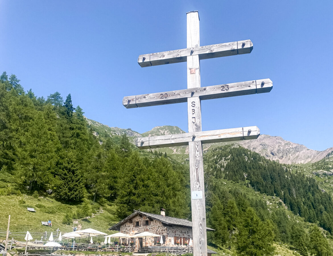
Delicious South Tyrolean food at the Laugenalm
Bathing in the Laugensee lake
Starting point: Gampenpass
Pit stop: Laugenalm
GPX-Track -km, -m GPX
| Name: | No data |
| Distance: | No data |
| Minimum elevation: | No data |
| Maximum elevation: | No data |
| Elevation gain: | No data |
| Elevation loss: | No data |
| Duration: | No data |